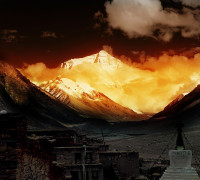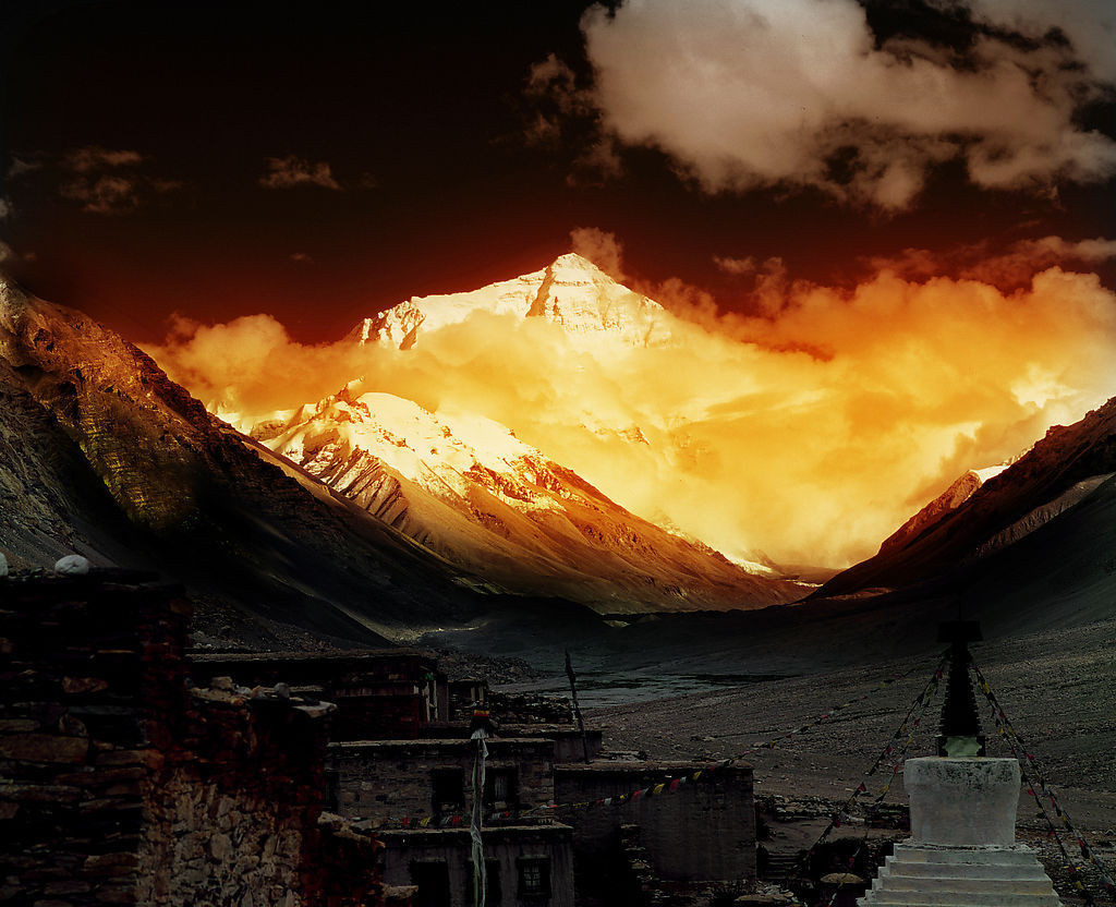
Glaciers on Mount Qomolangma, known in the West as Mount Everest, have shrunk by 10 percent over the past 40 years due to global warming, a researcher said on Wednesday.
Kang Shichang, a researcher at the Institute of Tibetan Plateau Research of the Chinese Academy of Sciences, said the data was based on long-term remote sensing and on-site monitoring.
The glacial lake downstream, as a result, is 13 times bigger than four decades ago, said Kang, who has headed several glacier inspection teams to the Mount Qomolangma area.
Glaciers in the Tibetan Plateau combined cover an area of about 50,000 square kilometers, accounting for more than 80 percent of the country’s total, data showed.
Glaciers are very sensitive to climate change and therefore serve as monitors, he said.
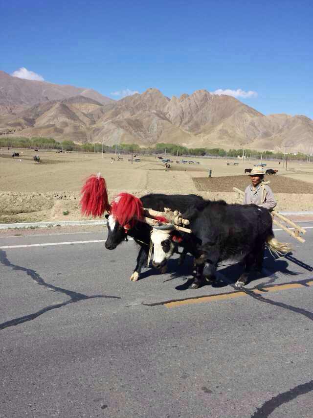
Climate change has impacted the plateau, which has the highest altitude in the world.
Kang said glaciers started to shrink since the 20th century and speeded up since the 1990s.
Compared with 20 years ago, the serac forest was now at higher altitude and glaciers had more and bigger cracks.
He said glaciers on the plateau are supplementary water sources of many inland rivers and lakes and shrinkage could reduce water flow downstream.